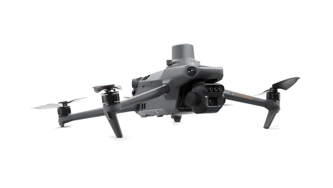
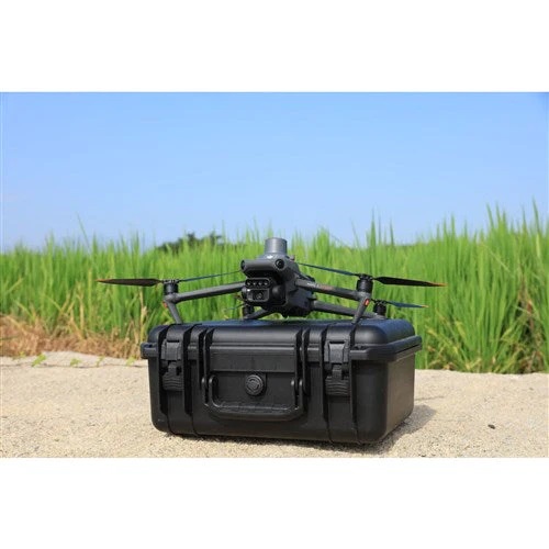
DJI Mavic 3 MultiSpectral Shield
DJI Mavic 3 MultiSpectral Shield
Effective aerial surveying needs to see the invisible. That's why Mavic 3 Multispectral has two forms of sight. It combines an RGB camera with a multispectral camera to scan and analyze crop growth with total clarity. Agricultural production management requires precision and data, and Mavic 3M delivers both. The Mavic 3M can also be used in environment and natural resource surveys, such as water enrichment monitoring, forest distribution surveys, urban green area surveys, and more.
- Compact and Portable
- Multispectral Camera 4 x 5 MP G/R/RE/NIR
- RGB Camera 20 MP 4/3 CMOS, mechanical shutter
- Precise Positioning, Centimeter-level RTK positioning, Synchronization at microsecond level
- Safe and Stable
- Efficient Aerial Surveying, Up to 200 hectares per flight
- 43-minute Flight Time, 100W Battery Charging Hub, 88W Fast Charging
- Sunlight Sensor
- Crash and collision damage, signal interference, water damaged and other accidents caused by User Error
Apply to be a Tax Exempt Entity
More Details
Have Us Help
Send in a request below, and we'll be happy to answer any questions you may have.


